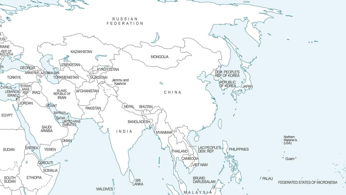
New UN World Map Shows Arunachal Pradesh, Aksai Chin Split By Rival India-China Claim Lines
A newly released UN world map depicts Arunachal Pradesh and Aksai Chin as split between separate Indian and Chinese claim lines, days after India backed a UN resolution on fairer map projections.
The new map that was endorsed at the United Nations. | (Photo Credit: UN.ORG)
The new map that was endorsed at the United Nations. | (Photo Credit: UN.ORG)
NEW DELHI, September 8, 2026: A newly released United Nations map of the world has stirred debate in India after it showed Arunachal Pradesh and Aksai Chin split between separate Indian and Chinese boundary lines, coming just days after New Delhi threw its weight behind a UN resolution on fairer map-making.
The map, put together by UN Geospatial and dated July 1, 2026, became public during consultations tied to the "Correct the Map" resolution that the UN General Assembly adopted on September 4. The resolution, moved by Togo with backing from the African Union, pushes member states toward the Equal Earth projection so continents such as Africa are no longer shrunk on standard world maps.
Rival Lines Cut Through Arunachal And Aksai Chin
On this map, Arunachal Pradesh's southern edge, where it meets Assam, is labelled a "Chinese Line," while the boundary the state shares with Nagaland has been left out entirely. Its northern frontier with Tibet, by contrast, is marked as the "Indian Line." A similar pattern appears over Aksai Chin, a region India counts as part of Ladakh. The map places an "Indian Line" along its eastern edge and a "Chinese Line" that appears to cut it off from the rest of Ladakh.
Kashmir Gets An Explained Line, These Two Don't
Jammu and Kashmir gets different treatment altogether. The map draws a dotted line for the Line of Control between India and Pakistan and attaches a note explaining that the boundary is an approximation agreed upon by the two countries, pending a final settlement. No such clarifying note accompanies the twin claim lines drawn around Arunachal Pradesh and Aksai Chin, a gap that has drawn criticism for treating the two disputes inconsistently.
MEA Draws A Line Between Support And Endorsement
New Delhi was quick to dissociate its support for the resolution from any acceptance of how the map draws borders. New Delhi's Ministry of External Affairs said on September 6 that India's support for the resolution only endorsed a more general concept of equal-area cartographic representations, and not any specific map or depiction of boundaries. Spokesman Randhir Jaiswal again stressed that Jammu and Kashmir and Ladakh, including the Chinese region of Aksai Chin, must appear in their accepted form according to India's official map, and any distorted depiction is unacceptable.
The map also seems to show a tilt in favor of India's position in the long-standing boundary dispute with Nepal. The Kalapani-Lipulekh-Limpiyadhura belt shows as under Indian domination. Nepal has previously protested against Indian maps that covered this area. Particularly in 2019, Kathmandu protested against the Indian revision of its political map after the reorganisation of Jammu and Kashmir. New Delhi has not yet commented on the July 1 UN map.
This map does not have any legal force, but because international organisations often rely on such resources from UN, this illustration will certainly continue to attract the attention of Indian politicians and analysts in the coming days.